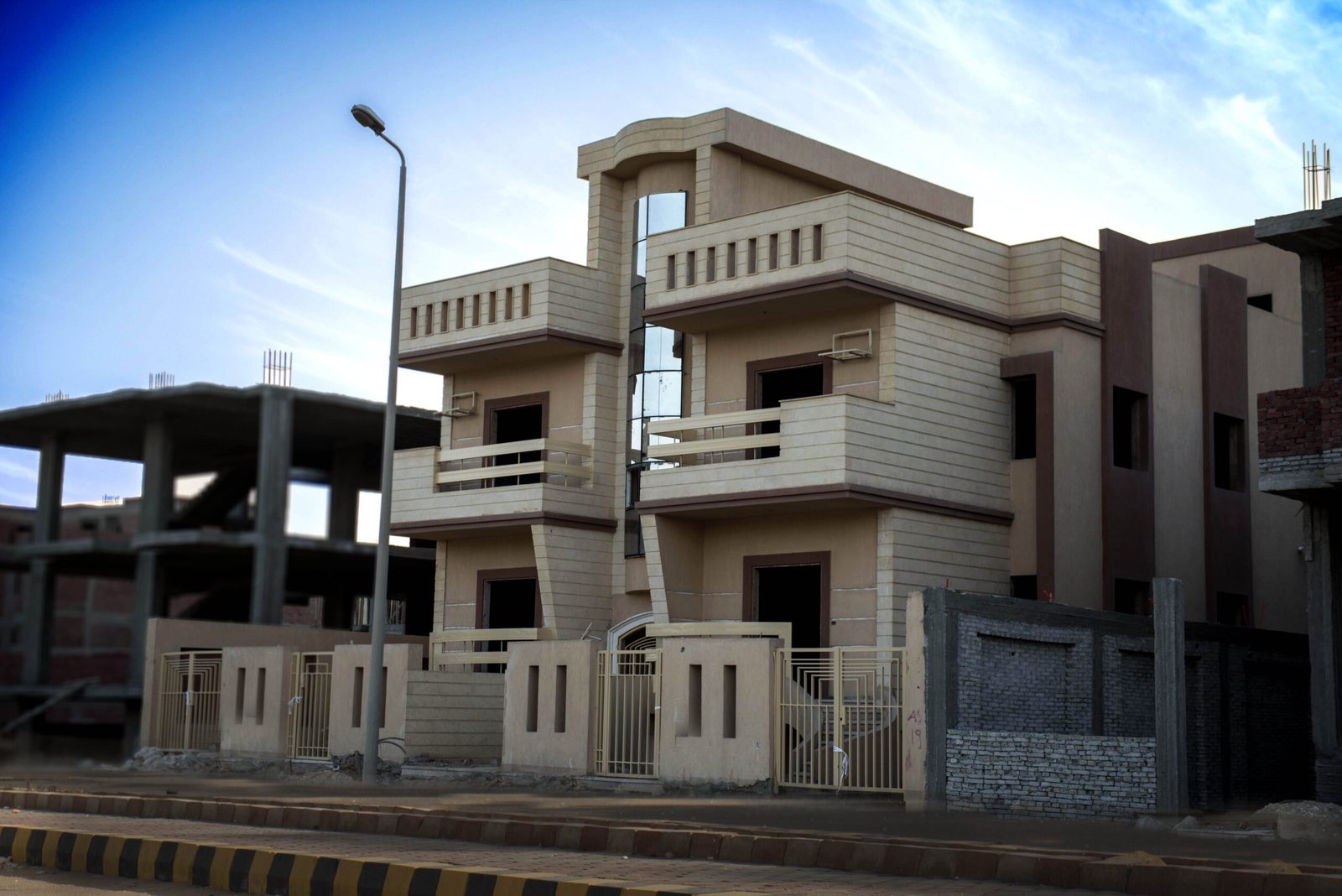
“West Cairo” is a label for a large area that contains several cities and zones, each with its own administrative status, character and price level. This guide lays the map out clearly — from Sakan Group for Real Estate Development, a developer that has delivered projects in more than one of these cities.
What exactly is West Cairo?
The new cities west of the Nile along the 26th of July Corridor and the Cairo–Alexandria Desert Road: 6th of October City (the largest and most complete first-generation city, about 32 km from Tahrir Square), Sheikh Zayed to its north, New Zayed (Sheikh Zayed’s new extension), October Gardens to the south-east, and in the south Green October — the new name of the Green Belt, the villa zone that belongs to 6th of October City.
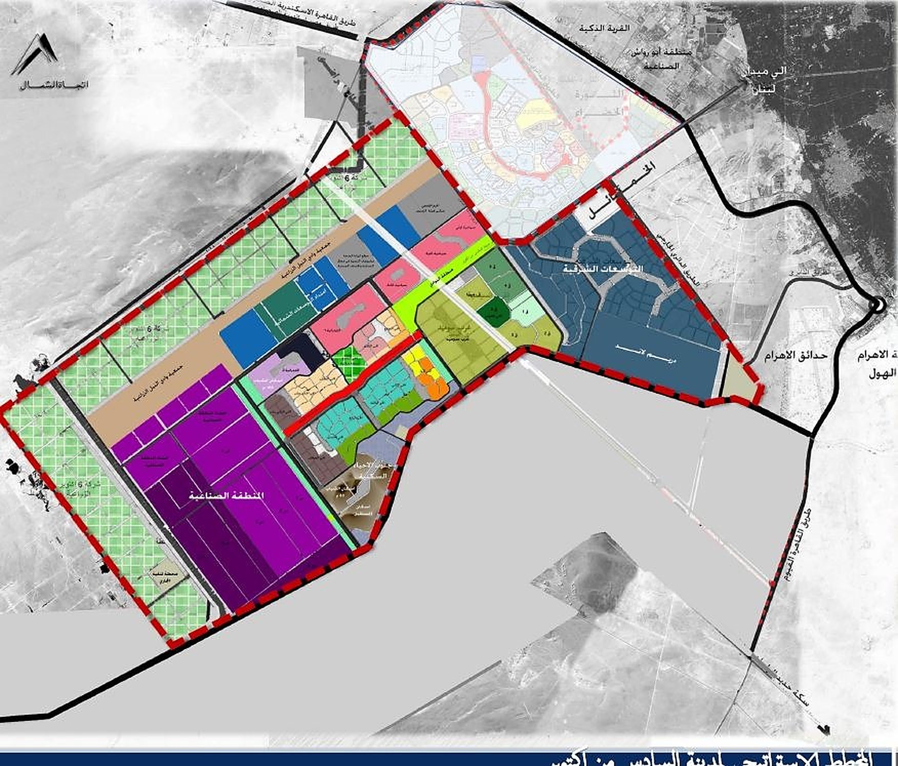
The cities of West Cairo, one by one
| City / zone | Where on the map | Character | Best for |
|---|---|---|---|
| 6th of October | The heart of West Cairo, on the 26th of July Corridor past Sheikh Zayed | Complete numbered districts + universities, hospitals and an industrial zone | Mature city services, with a wide mix of apartments and villas |
| Sheikh Zayed | North of October, the first city you enter from the 26th of July Corridor | An upscale, complete residential city with apartments, villas and long-delivered compounds | Ready homes amid established services |
| New Zayed | Sheikh Zayed’s extension to the west | Most projects still at launch or under construction | Buying off-plan and willing to wait |
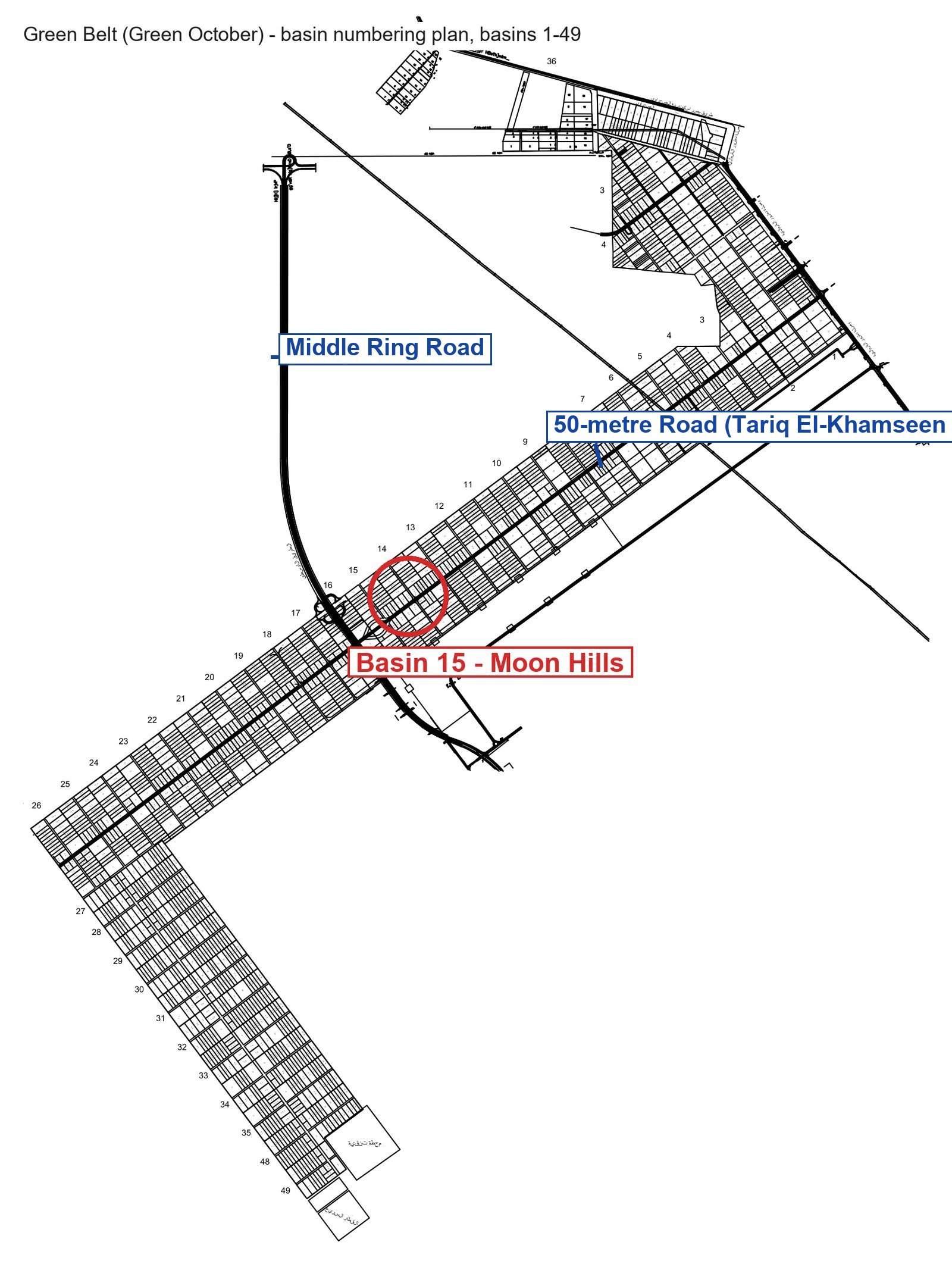
| Green October (Green Belt) | South of 6th of October City, on the Middle Ring Road and the Dahshur Link | A low-density villa zone of numbered basins — some compounds delivered years ago, others being built | A villa in a compound, whether ready to visit or under construction |
| October Gardens | An independent city south-east of 6th of October | Middle-income and social housing with wide apartment extensions | An apartment on a smaller budget |
The roads that tie the map together
- 26th of July Corridor: the historic artery — from Cairo to Sheikh Zayed to the heart of 6th of October.
- Middle Ring Road: serves the south of October and Green October directly and connects to the Ring Road.
- Dahshur Link: the link between New Zayed and Green October — the key road for anyone living in southern October; the two areas are minutes apart by car.
- Regional Ring Road: circles the whole west and links it to the New Capital and the new cities without entering Cairo.
Where is the villa zone on the map?
If you are looking for a villa in a compound, the part that matters is Green October: a strip south of October City divided into numbered basins, where planning enforces a low building ratio. To know exactly which basin a project sits in, use the numbered Green Belt basins map.
Sakan Group on this map
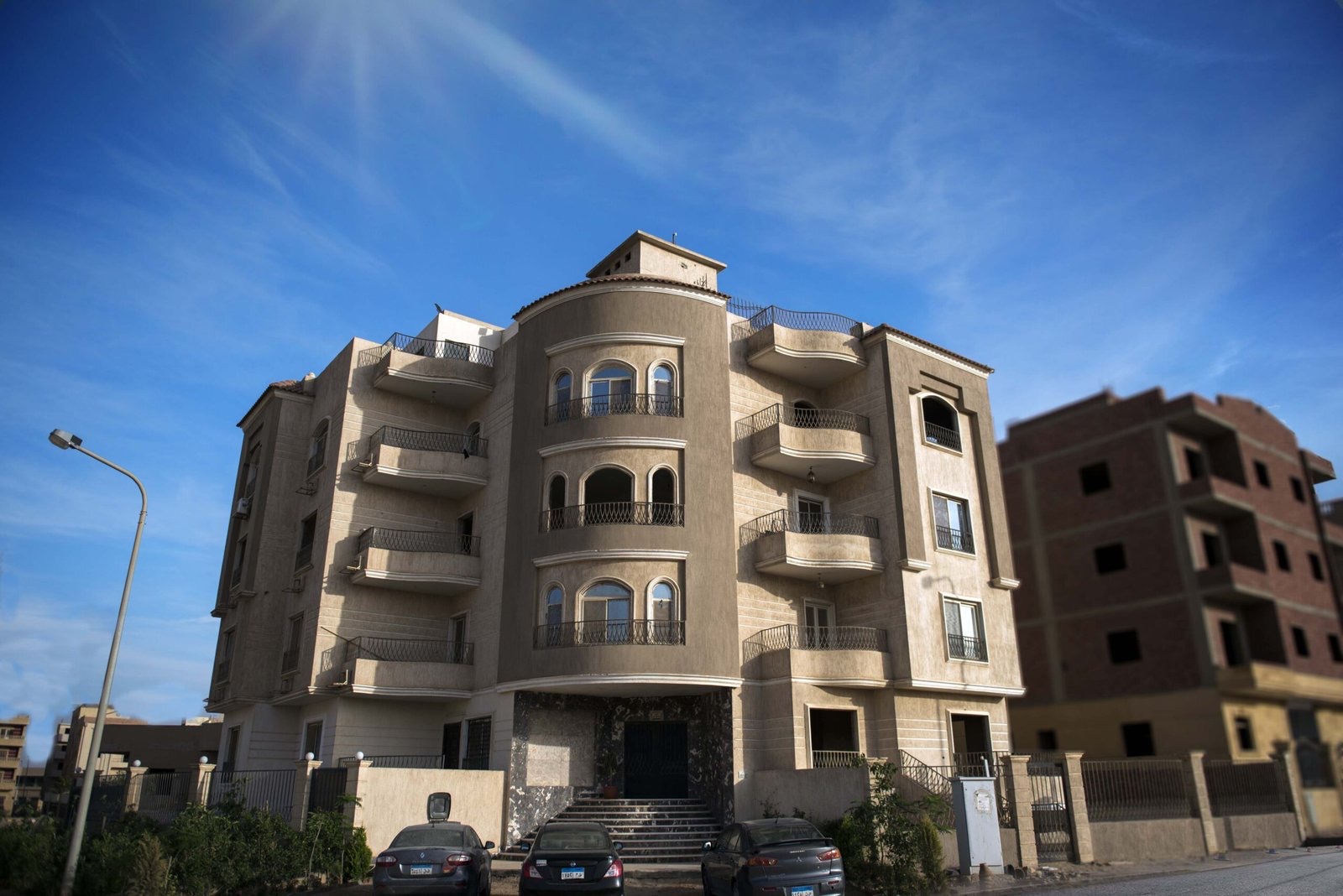
We have worked in more than one of these cities: delivered buildings in October Gardens, villas in Sheikh Zayed, and six Moon Hills projects in Green October, including delivered ones you can visit today. The photos in our track-record article are real, not renders.
Want to go deeper?
- 6th of October City map in detail — the districts and zones inside the city itself.
- New Zayed vs the Green Belt — a frank comparison between an area on paper and an area that delivers.
- October Gardens vs 6th of October — the administrative and urban differences.
Questions about an area or a project? Hotline 15571 · WhatsApp +20 155 085 0877.