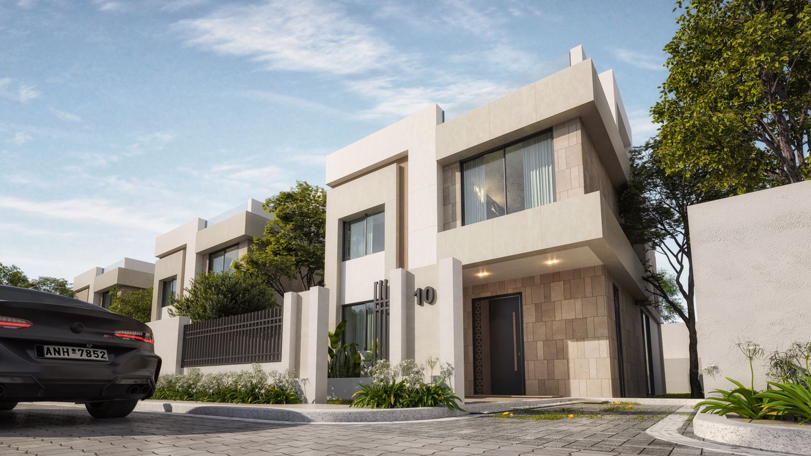
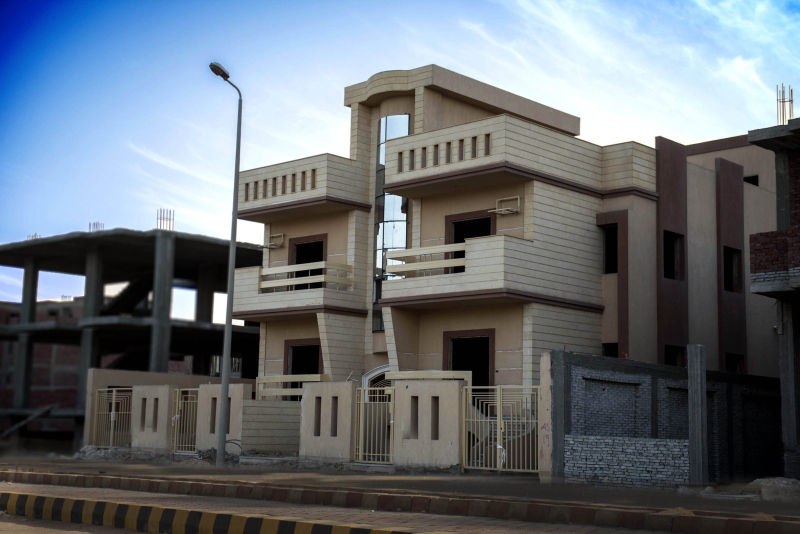
Ask about any project in October’s Green Belt and you will hear “Basin such-and-such”. That word is not marketing — it is the official division of the district into numbered basins, each with its place on the map. This guide reads the numbering map with you basin by basin, and shows where Basin 15, where we build, actually is.
📄 Want the map with you? Download the Green Belt (Green October) basins map as a PDF here — the 2026 version marking the Middle Ring road, the 50-metre road and Basin 15.
What is a “basin” in the Green Belt?
The Green Belt was planned agricultural land laid out in sectors; when it turned into a low-density villa district, the old division stayed as the basis of numbering: each basin is a numbered land sector, containing numbered plots that are sold and built on as compounds. So “the project is in Basin 15” is a precise address on the map, not a vague description like “near Zayed”. (Full background in what the Green Belt is.)
How the division looks on the map — in order
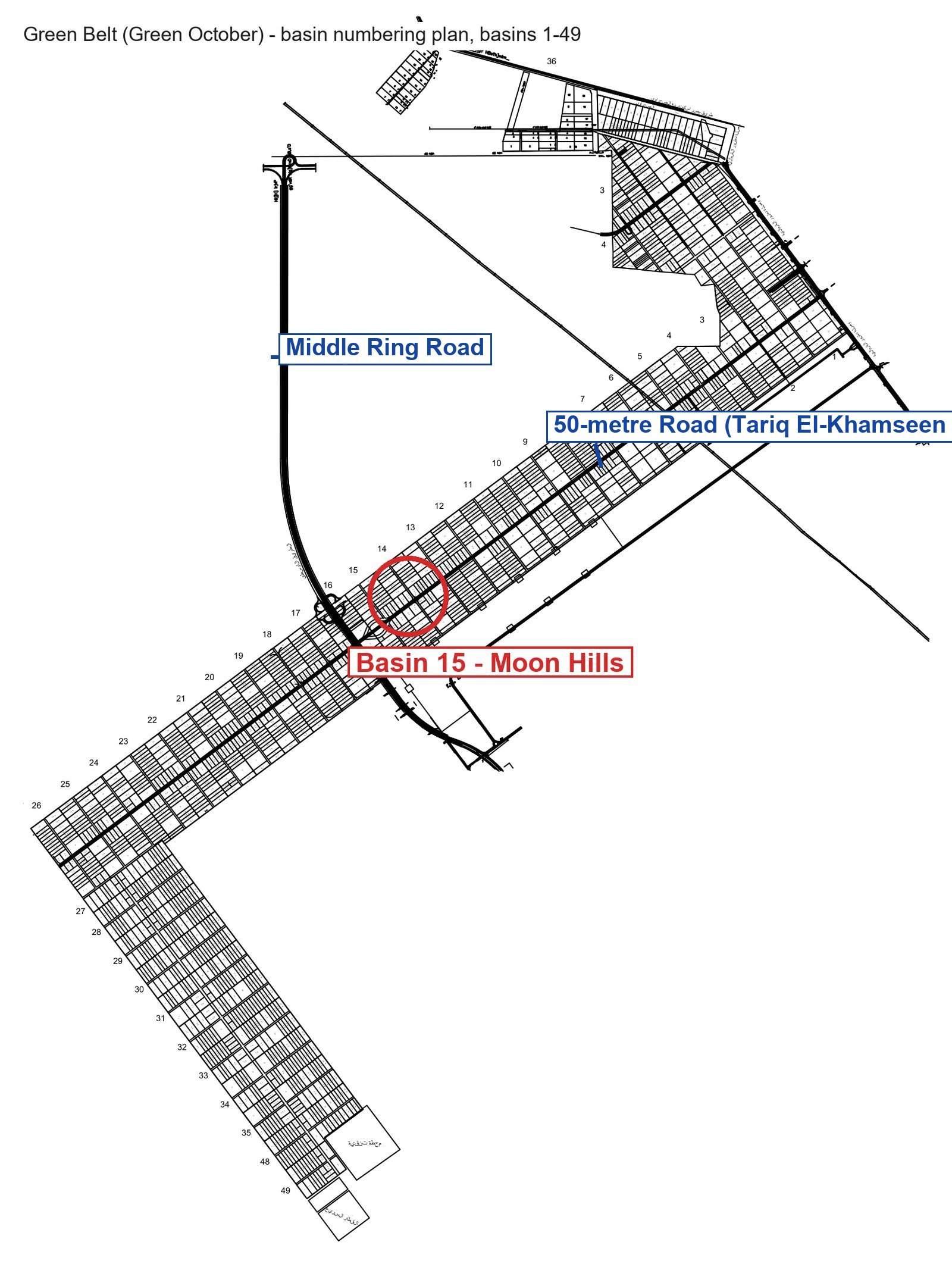
The map shows that basins are not scattered; they run in one long L-shaped strip:
- The main strip: basins 1 to 26 — a continuous strip on both sides of the 50-metre Road, starting with Basin 1 at a road junction at the north-eastern end and crossed by the Middle Ring Road between basins 16 and 17 and continuing in order 2, 3, 4… to Basin 26 at the south-western corner. Lower numbers are nearer the north-eastern entry; higher numbers further away.
- The southern leg: basins 27 to 35 — at Basin 26 the strip turns south, and the basins continue in order 27, 28… 35.
- The end of the strip: basins 48 and 49 — at the end of the southern leg, next to the water treatment plant and the high-speed rail station drawn on the plan.
- Basin 36 — separate from the strip, at the far north on a different road.
An honest note: basins 37 to 47 do not appear on this numbering plan, so if a project claims one of them, ask to see it on the city authority’s map yourself.
Where exactly is Basin 15?
Basin 15 sits roughly at the middle of the main strip, just two basins from the Middle Ring Road — the Middle Ring Road comes from the north and crosses the strip between basins 16 and 17, with Basin 15 right next to them (the red circle on the map). That makes it one of the basins with direct access from the Middle Ring Road and the 50-metre Road, rather than deep in the southern leg. It is where Moon Hills 6 is being built, 300 metres from the Middle Ring Road — details in the Basin 15 guide.
How to use the basin number in a buying decision
- Ask for the basin number and plot number in writing — not “near such-and-such”. Both appear in the project’s documents.
- Locate it on the map yourself: low numbers are nearer the north-eastern end; high numbers (27 and up) are on the southern leg towards the treatment plant.
- Ask about utilities reaching that specific basin (power, water, roads) — basins are not all at the same stage, which is the subject of the Green Belt’s problems, honestly.
- Confirm the ministerial decree and permit were issued for that plot — a basin number without a licence means nothing.
For the wider picture of the district and its zones, read the Green Belt map — zones and basins.
Want to see Basin 15 on the ground?
Hotline 15571 · WhatsApp +20 155 085 0877 · or our contact page — we will arrange a visit to Moon Hills in Basin 15, and a walk through the delivered Moon Hills 1 and 2 in the same district.